
Rising like a silent, petrified army from the Chihuahuan desert floor in the southeastern corner of Arizona, thousands of towering rhyolite pinnacles, precariously balanced thousand-ton boulders, and narrow stone canyons form what local pioneers aptly christened the “Wonderland of Rocks.” Long celebrated as a protected national monument since 1924, Chiricahua has officially taken its rightful place in American conservation history: crowned as the United States’ 64th official National Park.
Tucked away in the Dragoon and Chiricahua Mountain “Sky Islands”—isolated forested mountain ranges surrounded by seas of desert grassland—Chiricahua represents one of the most geologically astonishing and culturally sacred landscapes in North America. To hike its backcountry corridors is to step through 27 million years of volcanic fury and walk the exact tactical hideouts of legendary Apache leaders Cochise and Geronimo.
The Turkey Creek Supervolcano: 27 Million Years in the Making
The staggering rock formations at Chiricahua were not carved by ancient oceans, but by cataclysmic volcanic violence. Approximately 27 million years ago, the Turkey Creek Caldera erupted with a force estimated to be 1,000 times greater than Mount St. Helens. A superheated cloud of ash and pumice fused into thick layers of rhyolitic tuff. Over millions of years, water seeped into vertical fracture joints, freezing and expanding through brutal seasonal cycles to sculpt delicate stone spires, totem poles, and balance rocks that defy gravity.
1. Top Trails in America’s Newest National Park
Chiricahua’s high elevation—ranging from 5,120 feet at the canyon entrance to 7,310 feet atop Sugarloaf Mountain—creates cool alpine microclimates filled with Arizona cypress, Douglas fir, and silverleaf oak:
-
01.
Echo Canyon Loop (3.3 Miles): The quintessential introductory trek. Winding through the “Grotto” and descending into Wall Street, hikers brush against towering moss-draped rhyolite towers that narrow until the trail feels subterranean, offering echoing acoustics whenever wind sweeps down the pass.
-
02.
The Big Loop & Heart of Rocks (7.3 Miles): The crown jewel of backcountry navigation. Hikers climb through dense oak chaparral to reach famous landmarks including Pinnacle Balanced Rock, Big Balanced Rock (a 1,000-ton boulder balanced on a tiny 4-foot pedestal), and Thor’s Hammer.
-
03.
Massai Point Nature Trail & Lookout: An accessible 360-degree overlook perched at 6,870 feet, framing panoramic vistas of Rhyolite Canyon, the San Simon Valley, and Mexico’s Sierra Madre mountains shimmering on the southern horizon.
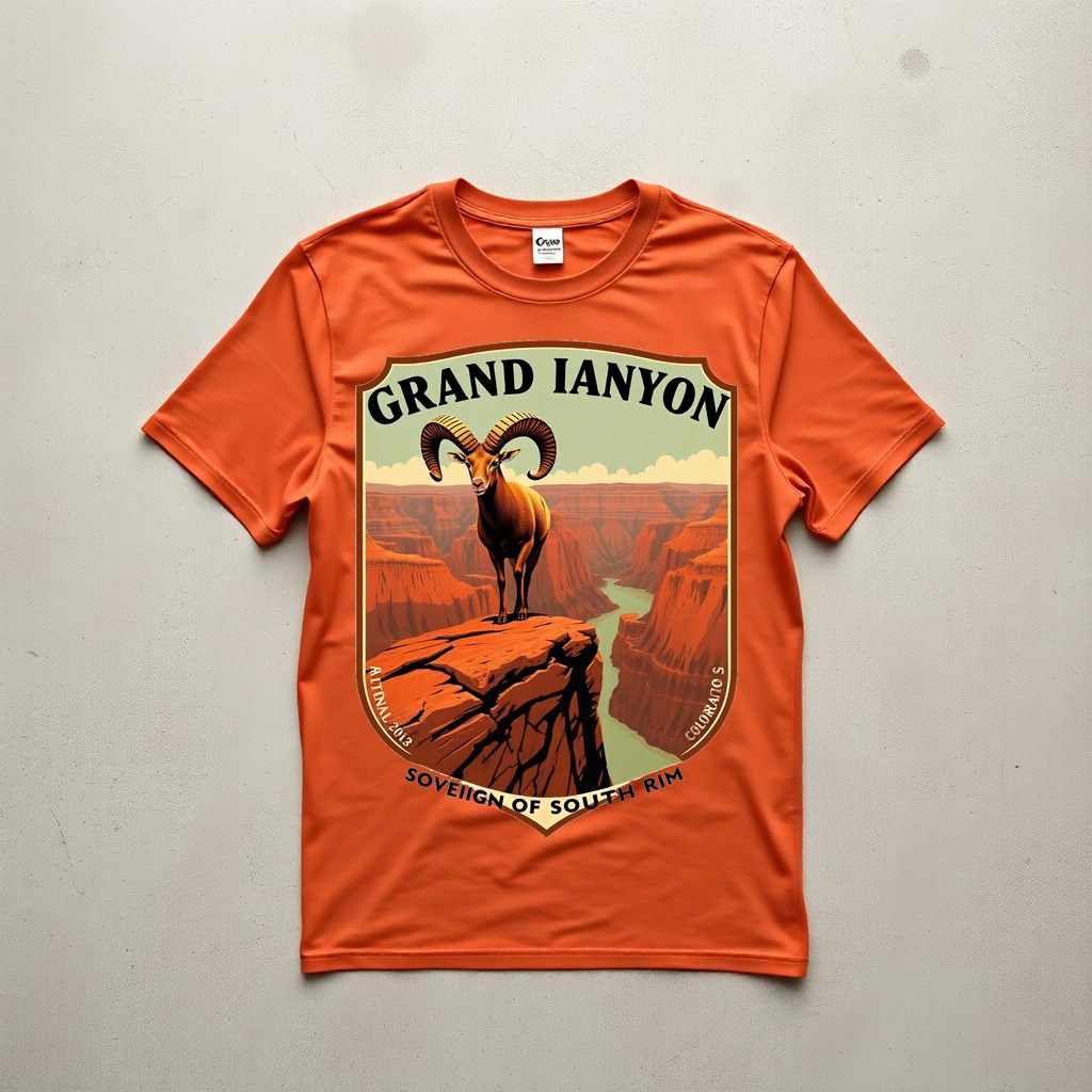
Grand Canyon Bighorn Sheep Rim Watch Tee
Celebrating the rugged wildlife, sandstone rims, and high-desert resilience of the American Southwest. Hand-printed on 6.1 oz heavyweight Comfort Colors 1717 garment-dyed cotton in vintage Pepper and Terracotta.
2. The Chiricahua Apache: Guerilla Tactics & Sacred Stone
Long before European settlers set foot in Cochise County, the Chiricahua Mountains were the sovereign homeland of the Chiricahua Apache (Chokonen). Known for extraordinary endurance and intimate topographical knowledge, Apache warriors moved through these stone mazes without leaving a footprint.
During the Apache Wars of the late 19th century, Cochise and later Geronimo utilized the natural stone battlements of Chiricahua as impenetrable defensive fortresses. The sheer rock fins provided elevated sniper perches, hidden spring-fed water pockets, and labyrinthine escape routes that completely baffled the pursuing U.S. 6th Cavalry. To stand in Heart of Rocks today is to feel that profound, untamed ancestral presence.
3. Sky Island Climates: Dressing for Arizona’s 35-Degree Shifts
A common misconception among hikers is that Arizona desert parks are relentlessly hot. In Chiricahua’s Sky Island environment, elevation dictates the climate: a warm 75°F afternoon at the visitor center plunges below 40°F the moment the sun dips behind the ridge at Massai Point.
Heavyweight, pre-shrunk ring-spun cotton is the ideal natural fabric for high-desert trail days. At 6.1 oz, Comfort Colors 1717 tees protect your shoulders from sharp granite and volcanic rhyolite scrapes while scrambling switchbacks, breathe comfortably in dry mountain heat, and layer perfectly beneath a chore coat when desert twilight descends.
Celebrate America’s Wildest Lands
Use code ROAM10 at checkout to save 10% on your first order of National Park and Southwest wilderness graphic tees.
Written by The Rust & Roam Editorial Team
Born out of dusty backroads, early dawn river casts, and crackling pine embers. We obsess over heavyweight Americana blanks, breathable water-based inks, and timeless heritage gear that wears in, not out.